")
")
")
")
")
")
")
Description
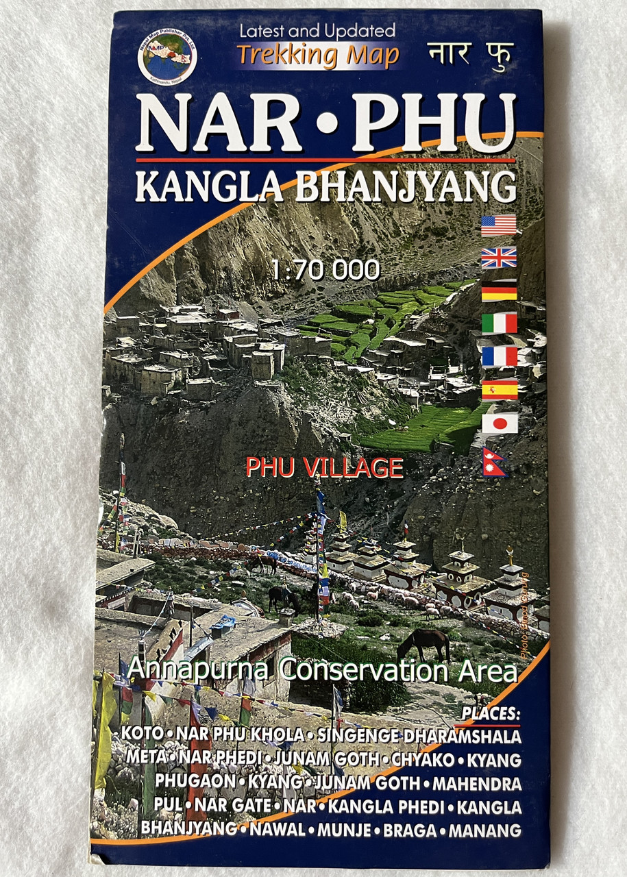
Nar Phu Kangla Bhanjyang Trekking Map
Phu Village | Annapurna Conservation Area | Scale 1:70,000 | Nepal Map Publisher Pvt. Ltd.
Product Details
-
Title: Nar Phu Kangla Bhanjyang Trekking Map
-
Coverage: Nar and Phu Valleys, Kangla Bhanjyang Pass, Phu Village
-
Scale: 1:70,000
-
Publisher: Nepal Map Publisher Pvt. Ltd. / Vajra Books
-
Edition: Latest and Updated (March 1, 2018)
-
ISBN-10: 9937810949
-
ISBN-13: 9789937810944
-
Language: English
-
Weight: 2.82 ounces
-
Material: Waterproof and tear-resistant
-
Best For: Trekkers, mountaineers, and adventure seekers exploring Nar Phu Valley and Kangla Bhanjyang Pass
Overview
The Nar Phu Kangla Bhanjyang Trekking Map (Scale 1:70,000) is an essential guide for trekkers venturing into the remote and untouched Nar Phu Valley in the Annapurna Conservation Area. This detailed and updated map covers the ancient villages of Nar and Phu, the dramatic Kangla Bhanjyang Pass (5,240m), and rugged Himalayan terrain, making it a valuable resource for those seeking an off-the-beaten-path adventure.
Located between Manang and Upper Mustang, Nar Phu Valley is known for its authentic Tibetan-influenced culture, medieval villages, high passes, and breathtaking mountain landscapes. The region offers a unique and isolated trekking experience, distinct from the more popular Annapurna Circuit.
Key Features
✔ Covers Remote Nar Phu Valley – Includes Nar and Phu villages, Kangla Bhanjyang Pass (5,240m), and Annapurna Conservation Area
✔ High-Altitude Trekking Route – Details challenging trails, rugged landscapes, and less-explored paths
✔ Climbing & Trekking Highlights – Perfect for those planning treks or ascents in this untouched region
✔ Waterproof & Tear-Resistant – Designed for Himalayan weather conditions
✔ Updated & Comprehensive – Features newly mapped trails, altitude markers, and landmarks
Interesting Facts
Why Trek to Nar Phu Valley?
-
Phu Village (4,080m) is one of Nepal’s most remote and least-visited settlements, preserving a rich Tibetan Buddhist heritage.
-
Nar Valley features ancient monasteries, high-altitude pastures, and traditional yak herding culture.
-
Kangla Bhanjyang Pass (5,240m) connects Nar Phu with the Annapurna Circuit, offering stunning views of Annapurna, Manaslu, and Dhaulagiri.
-
The Nar Phu trek is a restricted area, requiring a special permit for entry, ensuring it remains an exclusive and pristine trekking destination.
-
Opened to trekkers only in 2002, Nar Phu retains its authentic culture and untouched landscapes.
Publishers
Published by Nepal Map Publisher Pvt. Ltd. & Vajra Books, leading providers of detailed trekking maps for Nepal’s remote regions.
We value your feedback!
Have you used this map on your trek? Leave a review to help other trekkers plan their adventure!
Hashtags
#NarPhuTrek #KanglaBhanjyang #TrekkingMaps #ExploreNepal #HikingMaps #NepalTrekking #AdventureNepal #AnnapurnaConservationArea #PhuVillage #NepalMapPublisher #OffTheBeatenPath #TrekkingPermitRequired


")
")


")
")
")
")
 5416 m. Latest and Updated Trekking Map अन्नपूर्ण Nepal Map Publisher Pvt. Ltd. (9789937806220)")
 5416 m. Latest and Updated Trekking Map अन्नपूर्ण Nepal Map Publisher Pvt. Ltd. (9789937806220)")