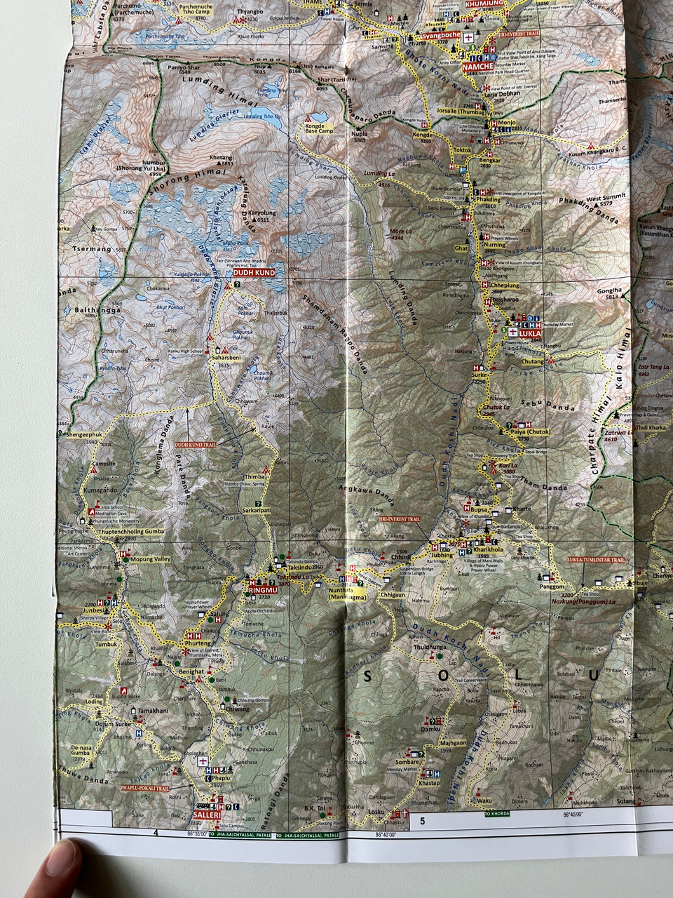
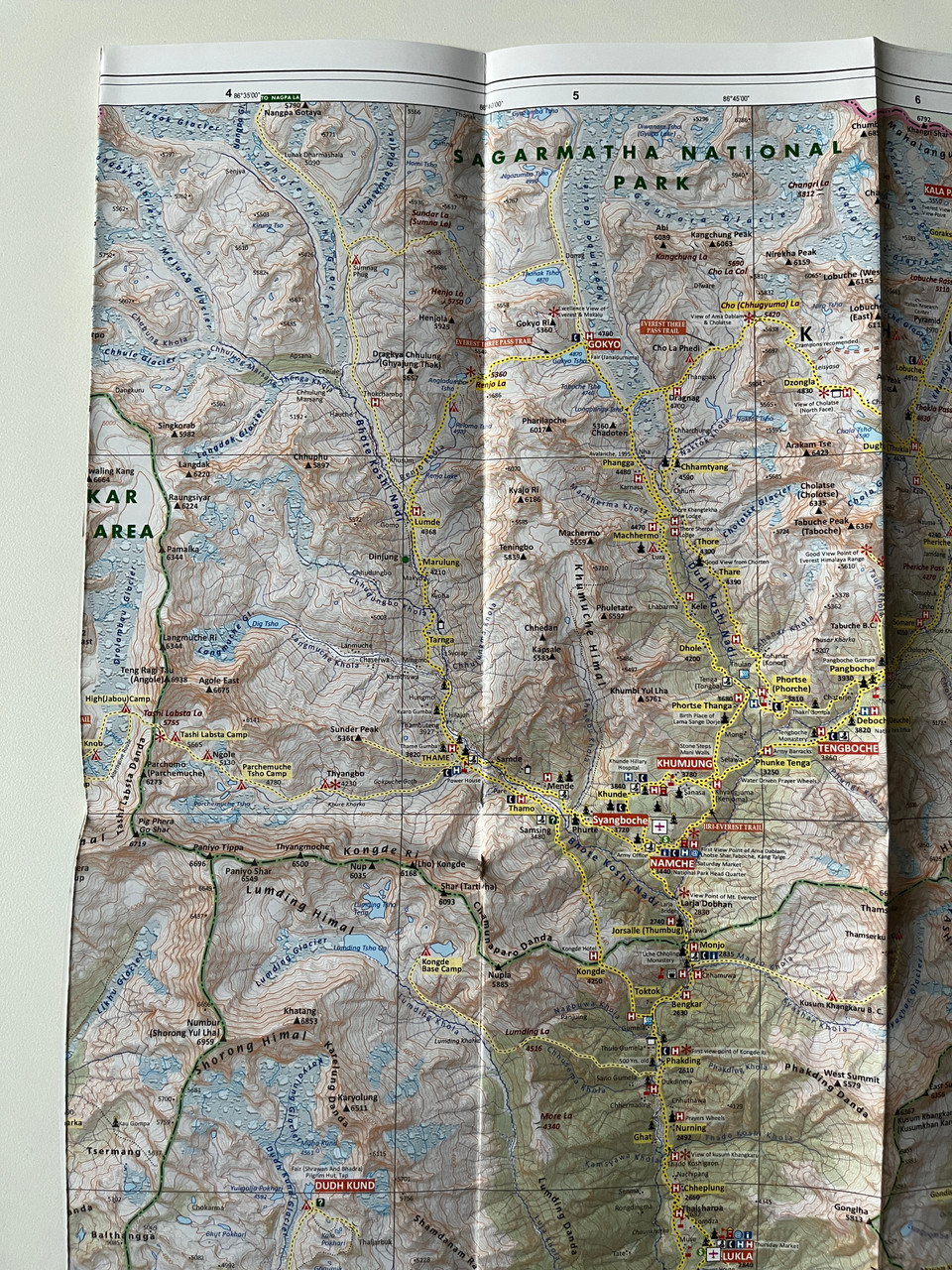
Description
Khumbu – Jiri to Everest Trekking Map (1:100,000) | Himalayan Map House
Product Details:
-
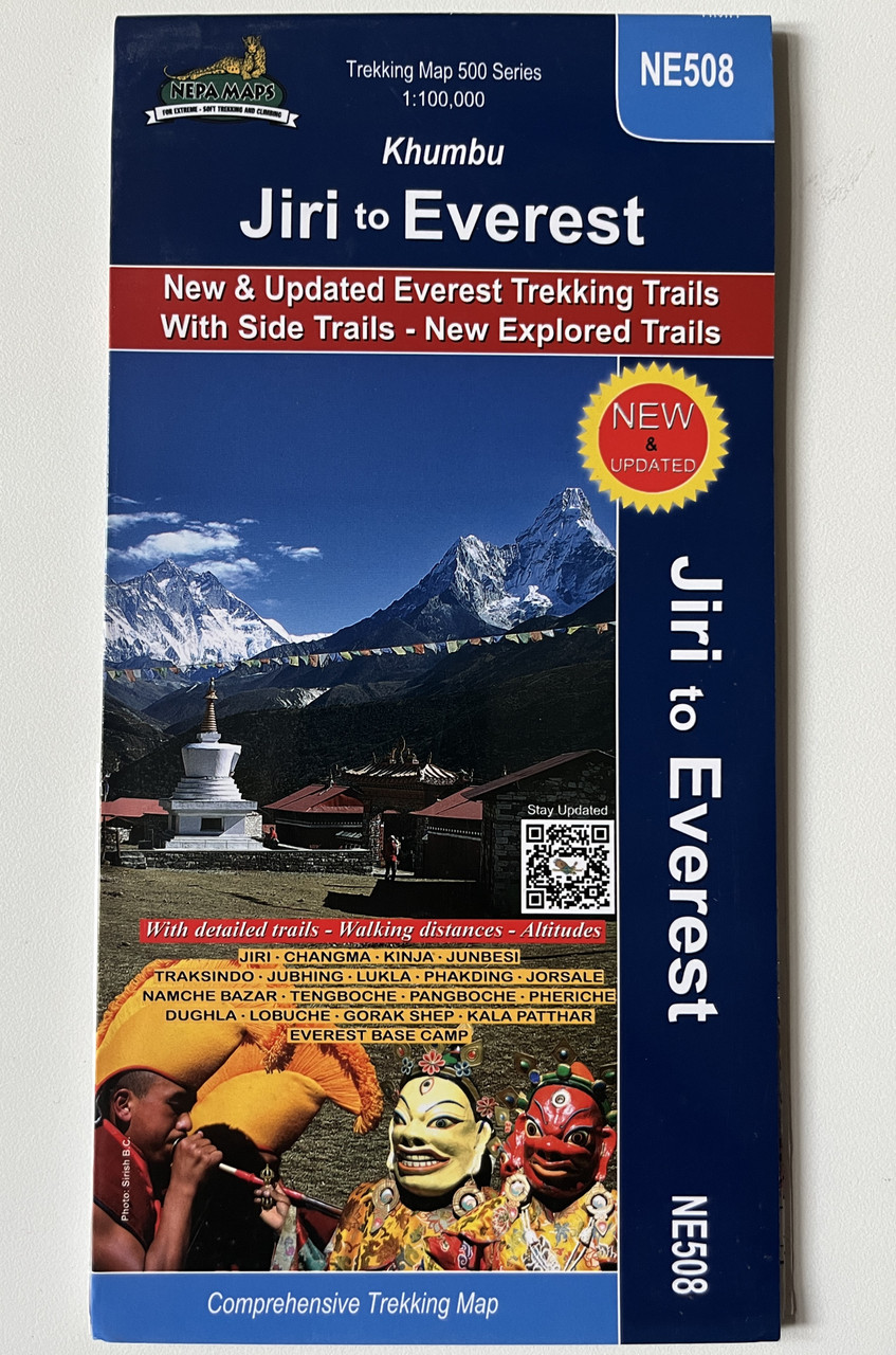
Title: Khumbu – Jiri to Everest Trekking Map
-
Scale: 1:100,000
-
Coverage: Jiri, Namche Bazaar, Everest Base Camp, Gokyo Lakes, Lukla, Tengboche, and side trails
-
Series: Comprehensive Trekking Map 500 Series (NE508)
-
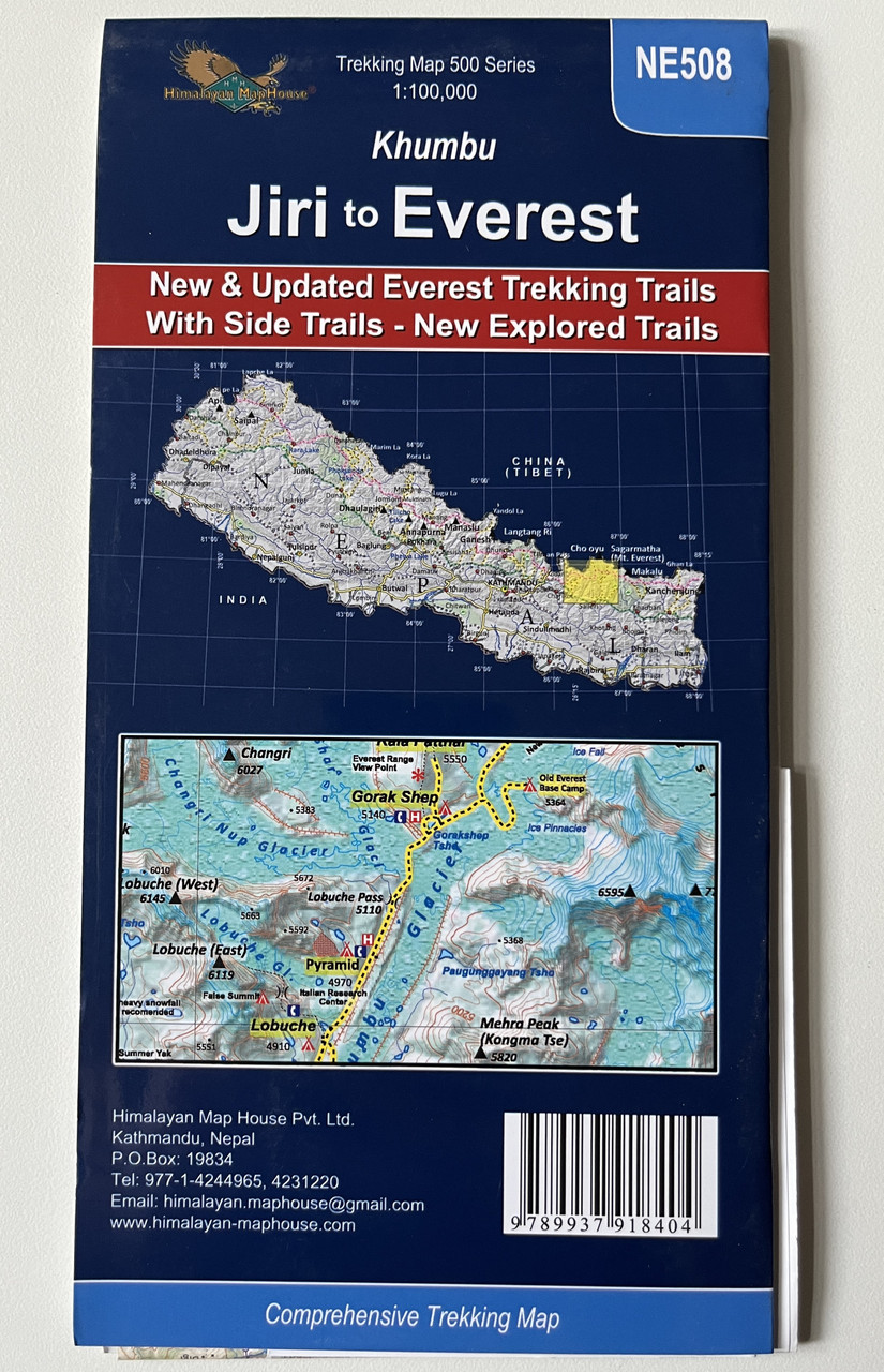
Publisher: Himalayan Map House Pvt. Ltd.
-
ISBN-13: 9789937918404 / 978-9937918404
-
Format: Folded trekking map
-
Edition: Latest & Updated (Includes new explored trails)
-
Language: English & Nepali
-
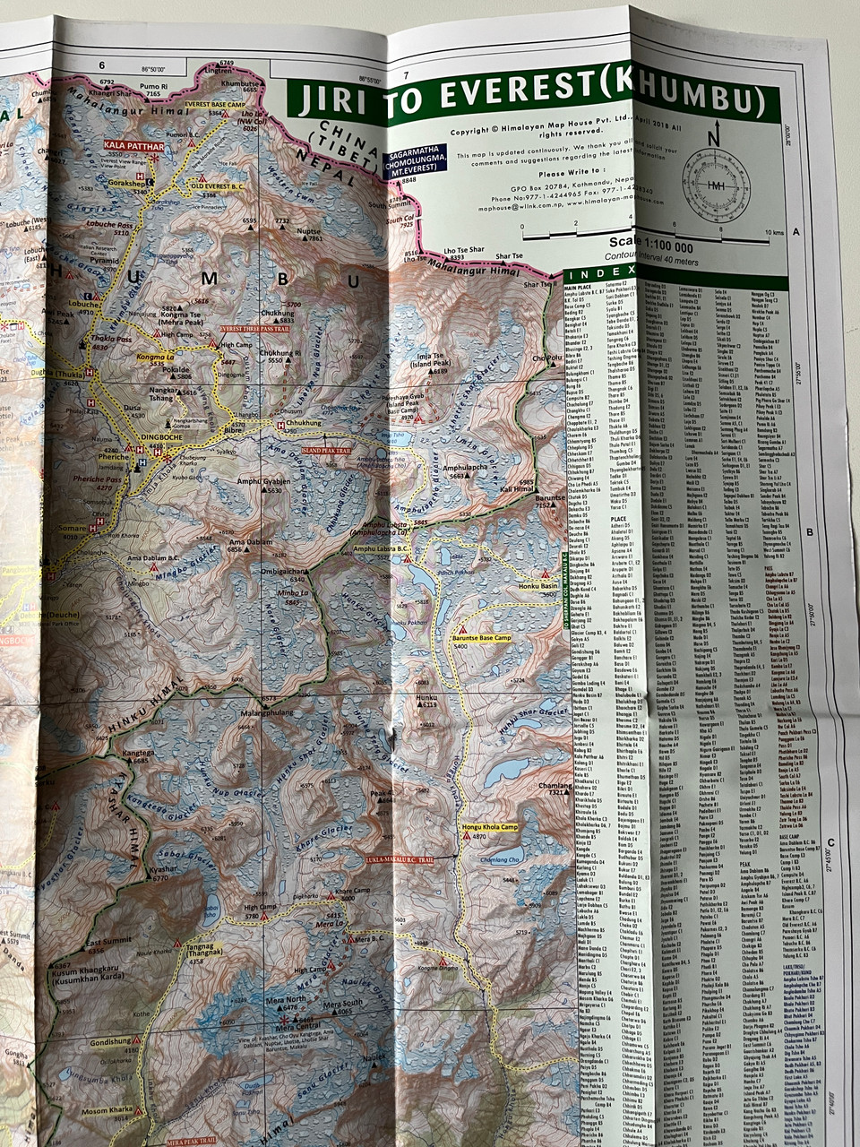
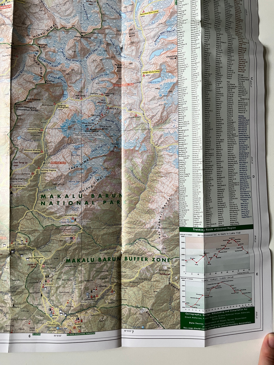
Features: Topographic details, trekking routes, altitudes, and key landmarks
Overview
The Khumbu – Jiri to Everest Trekking Map (1:100,000) is an essential guide for trekkers exploring the legendary Everest Region, covering the classic Jiri to Everest Base Camp route, Lukla, Namche Bazaar, Gokyo Lakes, and new side trails.
This updated and detailed map highlights the original route from Jiri, famously taken by Sir Edmund Hillary and Tenzing Norgay during their historic Everest expedition. It also includes alternative and newly explored trails, providing options for adventurous trekkers seeking off-the-beaten-path experiences.
Whether you're planning the Everest Base Camp trek (5,364m), the Gokyo Lakes trek, the Three Passes trek, or a cultural exploration in the Khumbu region, this highly accurate and durable trekking map is your perfect companion.
Key Features
✔ Highly Accurate & Updated – Covers Everest Base Camp, Gokyo Lakes, and new trekking routes.
✔ Topographic & Altitude Details – Includes elevation contours, glaciers, ridgelines, rivers, and villages.
✔ Newly Explored Side Trails – Highlights lesser-known trekking routes for alternative adventures.
✔ Trekking Routes & Key Stops – Features Jiri, Bupsa, Namche Bazaar, Tengboche, Gokyo Ri, and Kala Patthar.
✔ Cultural & Religious Sites – Highlights Buddhist monasteries, Sherpa heritage sites, and sacred landmarks.
✔ Weather-Resistant & Travel-Friendly – Foldable, lightweight, and durable for trekking use.
✔ Ideal for All Trekkers – Suitable for independent trekkers, guided groups, and adventure seekers.
Interesting Facts
Jiri – The Classic Everest Route – Known as the “Gateway to Everest”, this historic trail was the original approach route before Lukla Airport was built.
Namche Bazaar (3,440m) – The vibrant Sherpa capital, offering stunning views of Everest, Lhotse, and Ama Dablam.
Everest Base Camp (5,364m) – One of the most famous trekking destinations in the world, offering breathtaking views of the Khumbu Icefall and Everest’s summit.
Gokyo Lakes & Gokyo Ri (5,357m) – A stunning alternative to Everest Base Camp, with panoramic views of four 8,000m peaks, including Everest, Lhotse, Makalu, and Cho Oyu.
Tengboche Monastery (3,867m) – The largest Buddhist monastery in the Khumbu region, hosting the famous Mani Rimdu festival.
Publisher
Published by Himalayan Map House Pvt. Ltd., Nepal’s leading producer of detailed and high-quality trekking maps for extreme, soft trekking, and climbing adventures.
We’d love to hear about your trekking experience! Share your feedback and let us know how this map helped on your journey.
Hashtags
#EverestTrek #EverestBaseCamp #GokyoLakes #TrekkingNepal #KhumbuValley #SherpaCulture #NamcheBazaar #TengbocheMonastery #HimalayanAdventure #TrekkingMaps


