")
")
")
")
")
")
")
")
")
Description
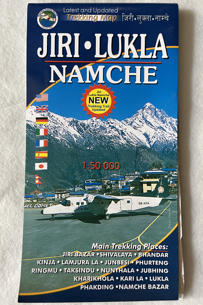
JIRI - LUKLA: NAMCHE | 1:50 000 | Latest and Updated Trekking Map
जिरी • लुक्ला • नाम्चे | Nepal Map Publisher Pvt. Ltd.
Product Details
-
ISBN: 9789937556132 / 978-9937556132
-
Product Type: Trekking Map
-
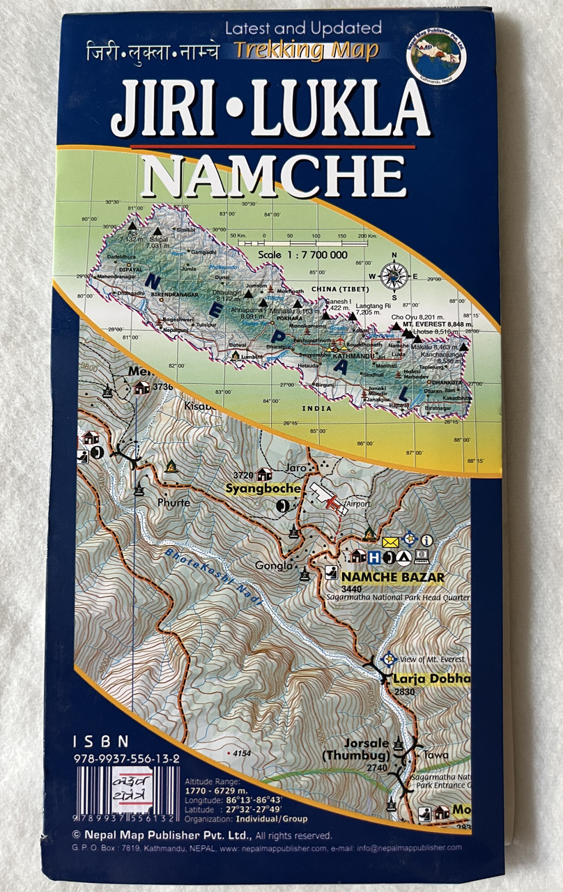
Scale: 1:50,000
-
Coverage: Jiri, Lukla, Namche, and surrounding trekking routes
-
Publisher: Nepal Map Publisher Pvt. Ltd.
-
Edition: Latest and updated
-
Language: English & Nepali
-
Map Type: Folded, waterproof, and tear-resistant
-
Suitable For: Trekkers, mountaineers, and adventure travelers
Overview
The Jiri - Lukla: Namche Trekking Map is an essential guide for travelers and trekkers exploring the Everest region of Nepal. Covering the classic trekking route from Jiri to Lukla and Namche, this 1:50,000 scale map provides detailed topography, trekking trails, elevation markings, and key landmarks to aid navigation. Designed for both first-time and experienced trekkers, the map highlights villages, lodges, monasteries, and important stops along the route.
Printed on durable, waterproof, and tear-resistant material, this updated edition ensures reliability in diverse weather conditions. Whether planning a trek to Everest Base Camp or exploring lesser-known trails, this map is an invaluable resource for adventure seekers.
नेपाली अनुवाद - परिचय
जिरी - लुक्ला: नाम्चे ट्रेकिङ नक्सा नेपालका साहसी यात्रुहरूका लागि आवश्यक मार्गदर्शक हो। यो १:५०,००० मापन स्केल सहितको नक्साले जिरीदेखि लुक्ला हुँदै नाम्चे सम्मको पुरानो ट्रेकिङ मार्ग समेट्छ। नक्सामा ट्रेकिङ मार्ग, भौगोलिक बनावट, उचाइ सूचक, प्रमुख स्थलहरू, गाउँहरू, लजहरू, मठहरू र अन्य महत्वपूर्ण बिन्दुहरू देखाइएको छ।
जलरोधक र च्यात्न कठिन कागजमा मुद्रित यो नवीनतम संस्करण विविध मौसममा समेत भरपर्दो छ। चाहे तपाईं एभरेस्ट आधार शिविर (Everest Base Camp) को यात्रा गर्दै हुनुहुन्छ वा अन्य कम प्रचलित मार्गहरू अन्वेषण गर्दै हुनुहुन्छ, यो नक्सा तपाईंको ट्रेकिङ यात्राको लागि महत्वपूर्ण स्रोत हो।
Key Features
✔ Detailed Topographic Information – Clear elevation contour lines, trekking routes, and altitude markings
✔ Covers Classic Trekking Route – Jiri to Lukla, Namche, and alternative trails
✔ Landmark Identification – Villages, tea houses, monasteries, and viewpoints
✔ Weather-Resistant Material – Waterproof and tear-resistant for durability
✔ Updated and Reliable – Includes recent trail modifications and infrastructure updates
Interesting Facts
Classic Route to Everest
-
Before the airport in Lukla, Jiri was the traditional gateway for trekkers heading to Everest Base Camp.
-
This map helps adventurers follow Sir Edmund Hillary and Tenzing Norgay’s historic path, the route used in their legendary 1953 Everest expedition.
Diverse Landscapes & Cultures
-
The trail passes through lush forests, alpine meadows, and Sherpa villages rich in Buddhist culture.
-
Namche Bazaar, the commercial hub of the Everest region, serves as a key acclimatization point for trekkers.
Nepali Translations - रोचक तथ्यहरू
एभरेस्टको पारम्परिक मार्ग
-
लुक्लामा विमानस्थल नखुल्नु अघि, जिरी एभरेस्ट आधार शिविर यात्राको प्रमुख प्रवेशद्वार थियो।
-
यो नक्साले साहसिक यात्रुहरूलाई १९५३ मा सर एडमण्ड हिलारी र तेन्जिङ नोर्गे द्वारा प्रयोग गरिएको मार्ग पछ्याउन मद्दत गर्छ।
विविध भौगोलिक बनावट र संस्कृति
-
मार्गमा हरियो जंगल, अल्पाइन घाँसेभूमि, र बौद्ध धर्म समेटिएको शेर्पा गाउँहरू भेट्न सकिन्छ।
-
नाम्चे बजार, एभरेस्ट क्षेत्रको मुख्य व्यापारिक केन्द्र हो, जहाँ ट्रेकर्स उचाइको लागि अनुकूलन गर्छन्।
Publishers
Published by Nepal Map Publisher Pvt. Ltd. – a trusted source for high-quality trekking and adventure maps in Nepal.
We value your feedback!
Share your experience with this product to help others make informed decisions. Your review is important to us!
Hashtags
#EverestTrekMap #JiriToLukla #NamcheBazaar #HikingNepal #EverestRegion #TrekkingMap #NepalTravel #AdventureNepal #TopographicMap #WaterproofMap #SherpaCulture


")
")
")
")
")
")
")
")
")
")
")


")
")
")
")